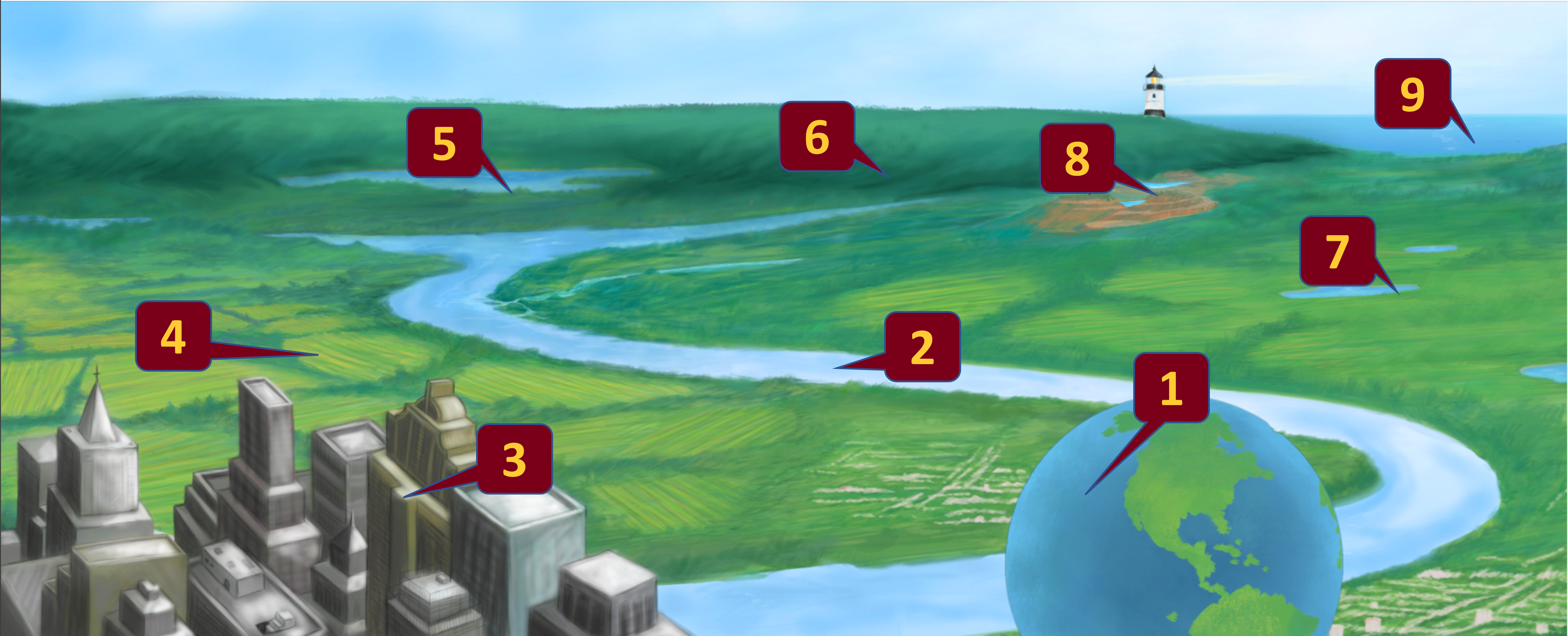
In the land of over 10,000 lakes, water is a vital resource to residents and tribes. Not surprisingly, 'water' scholarship is a substantial endeavor across the University of Minnesota (UMN) System. Water so transcends campuses, colleges, departments, and centers that it can be difficult to fully grasp its scope. As an initiative of the Research and Innovation Office, the UMN Water Council serves to bring together resources from across the UMN to address the pressing concern of access to clean water for the 21st Century.
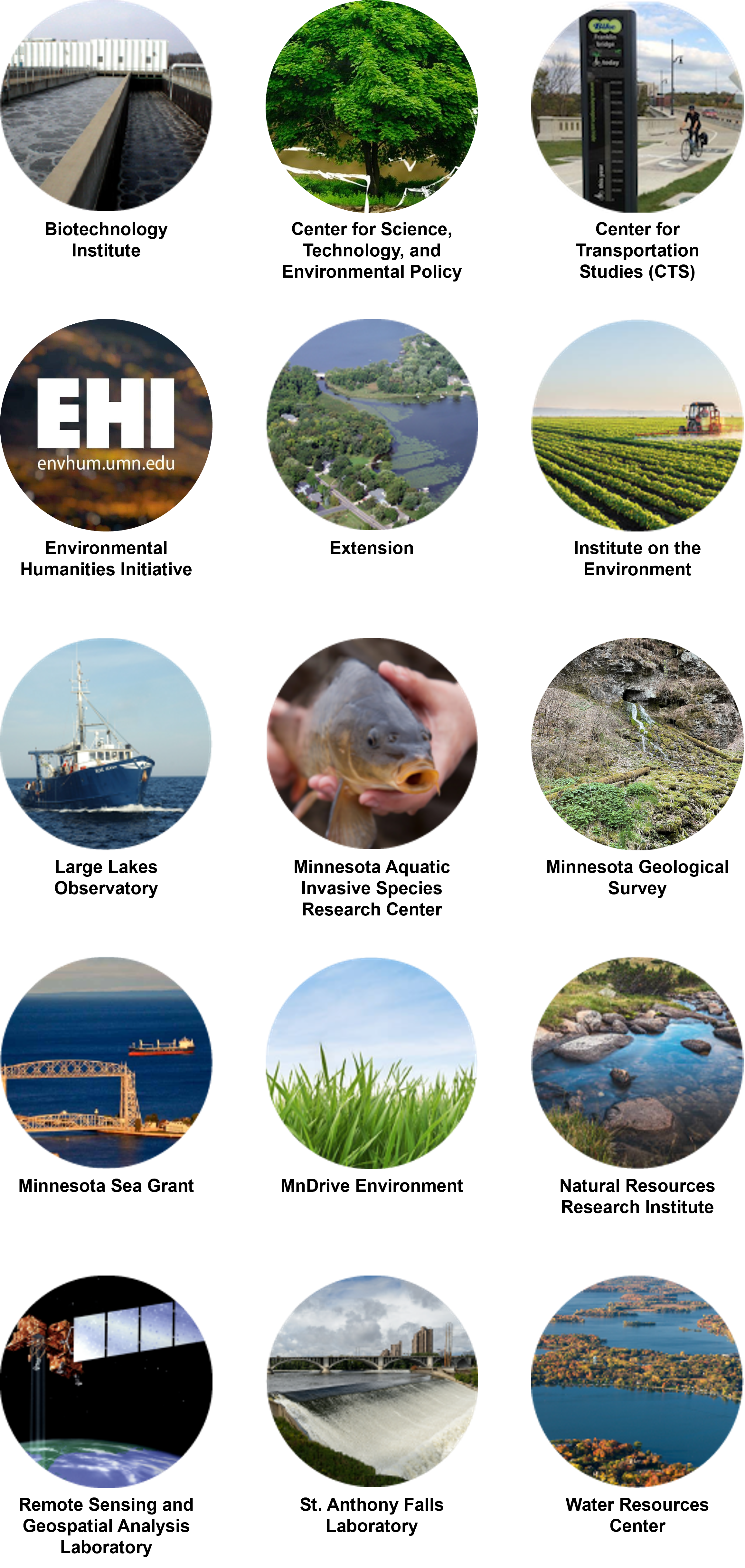
Units With Water Emphasis
Water expertise is spread multiple units throughout the University of Minnesota. Here are units with significant water research and education expertise.
Contact the UMN Water Council
If you would like to contact the UMN Water Council, please send us an email.